Illustration / 21
Grenada Illustrated Map
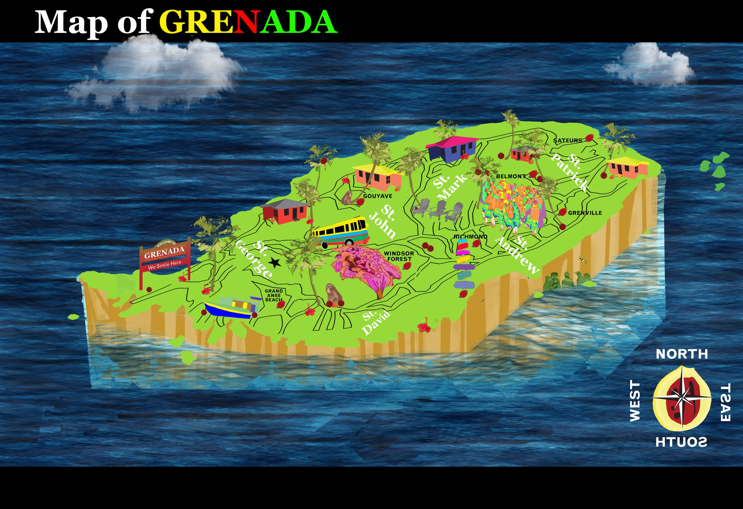
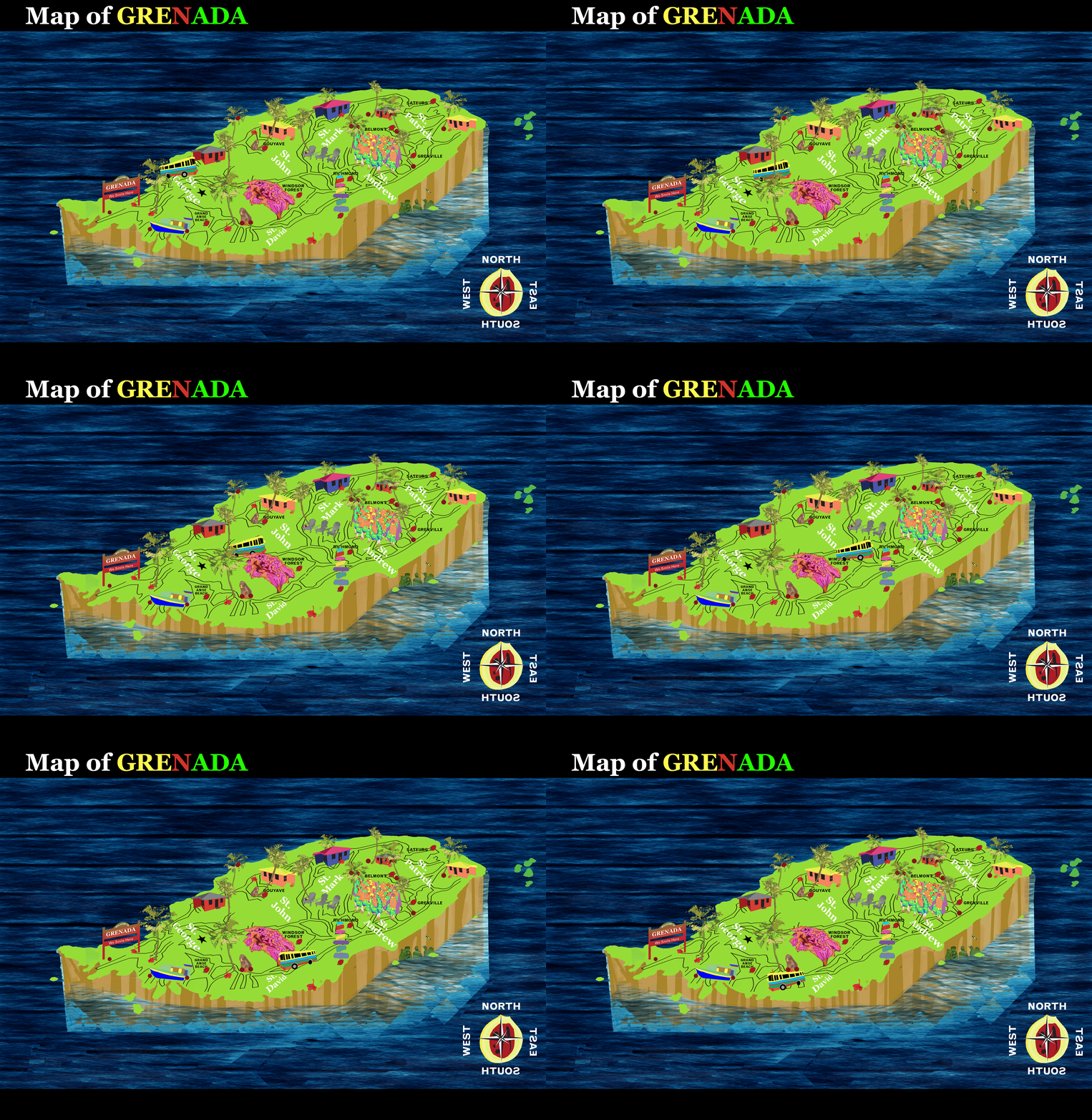
An illustrated map of Grenada from my 2018 illustration coursework, shown as a still and as the original animated GIF.
Context & credits
Coursework from my spring 2018 illustration class; not a commission. For viewers who prefer reduced motion, the animation shows the still map.
Source & provenance
From my original project files. The images here are web copies; the original exports are kept unchanged in my archive.
Incorporated third-party marks, names, mockup templates and reference imagery retain their respective credits.